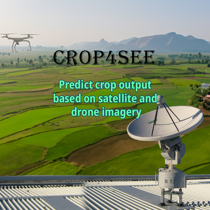
Crop4See is a sophisticated tool designed to forecast crop production using advanced technologies such as satellite and drone imagery, combined with historical data.
Key Features
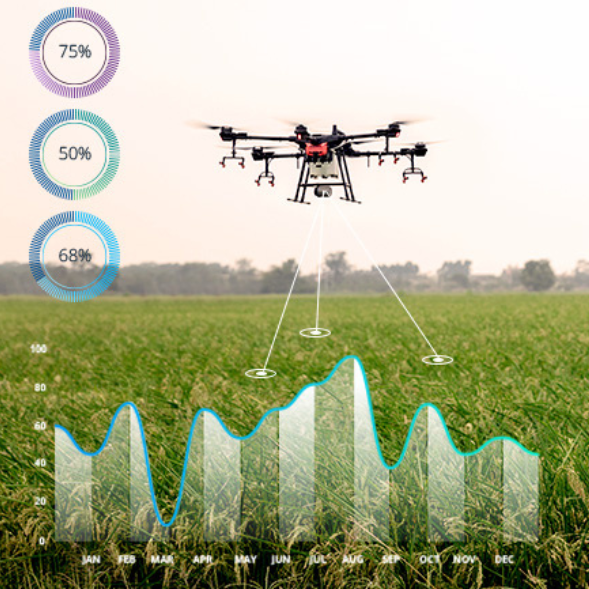
- Advanced Crop Forecasting.
- Imagery Analysis: Utilizes satellite and drone imagery for precise crop production forecasting.
- Historical Data Integration: Enhances yield predictions by analyzing historical crop data.
- Standardized Production Quantity.
- Yield Prediction: Provides precise estimates of crop quantities.
- Production Planning: Supports standardized production strategies and resource management.
- Cost Monitoring and Adjustment.
- Financial Oversight: Helps monitor costs in relation to predicted yields for better budgeting.
- Operational Adjustments: Allows for adjustments in operations based on production outcomes.
- GIS Technology Integration.
- Spatial Analysis: Uses GIS for mapping, spatial analysis, and visualization.
- Field Mapping: Provides detailed field mapping for accurate forecasting.
- Data Visualization: Presents data in visual formats for easier interpretation.